Explore with clarity
Give users a fast way to understand routes and identify the information that matters before choosing one.
A cross-platform experience for hikers and outdoor enthusiasts, connecting route discovery, planning and detailed information across a mobile application and website.
Mountain Maps was designed to help mountain enthusiasts explore, choose and plan routes through clear, interactive and detailed information. The challenge was to turn a large amount of route content into an experience that felt immediate rather than technical.
The product also needed to work as one coherent ecosystem: a mobile application for route exploration and planning, supported by a WordPress website that extended the experience beyond the app.
Give users a fast way to understand routes and identify the information that matters before choosing one.
Shape route-planning flows around simple steps and clear feedback rather than exposing the complexity behind the data.
Keep navigation, visual language and content logic consistent across mobile and web.
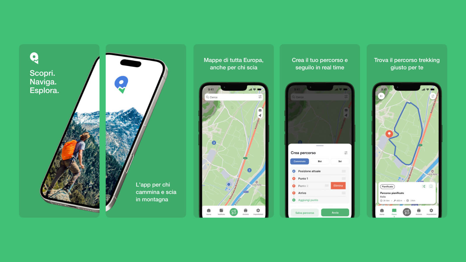
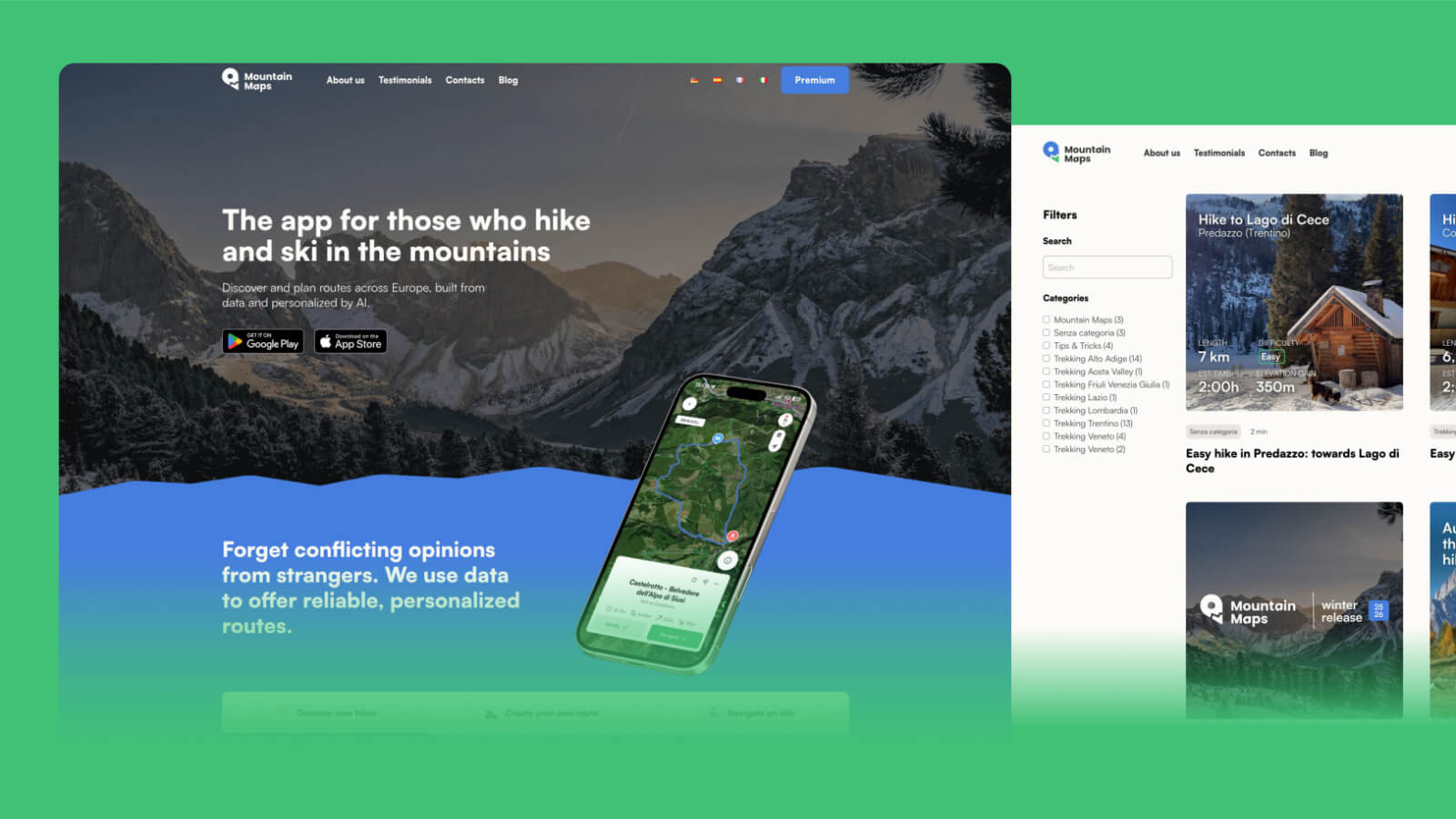
I led the UX/UI design of the application and the development of the corporate website. UX research and Information Architecture defined how routes, discovery and supporting content should be organised before the interface was designed.
Wireframes and prototypes were used to shape the main journeys, while the final UI created a consistent visual language across screen sizes. The result was conceived as a coherent, scalable and high-performance digital ecosystem rather than two separate products.
Content is organised around what users need to know when discovering, comparing and planning a route.
Core actions are kept close to the map and route context so users can move from discovery to planning naturally.
The WordPress website supports discovery and communication while remaining visually aligned with the application.
A coherent digital ecosystem that makes mountain-route discovery easier to understand, supports planning across devices and gives Mountain Maps a scalable foundation for future growth.